
- ✓ Budget double the drive time: the posted time is driving only. Pullouts, photos, and one very long lunch will eat it. That is not a problem. That is the trip.
- ✓ Gas up before the empty stretches: the Dempster, the Gaspé back roads, and the Icefields Parkway all punish optimism. I have watched a fuel gauge do something scary in all three places.
- ✓ Start with one drive, not ten: pick the one closest to a trip you are already taking, drive it properly, and let the rest of this list wait its turn.
Here’s the deal: Canada is too big to see from a plane window, and too good to rush past at highway speed. The drives below are the ones I keep coming back to in conversation — the roads where I actually pulled over, turned the engine off, and just sat there for a bit.
One confession up front. I took a “shortcut” off the Icefields Parkway once because the map made it look shorter. It was not shorter. It added an hour, a gravel road, and a long quiet drive back to the highway I had just left. Zero regrets, though — the detour had the best light of the whole day. That is more or less the philosophy of this list: the road is not the way to the scenery. The road is the scenery.
A note on the numbers: distances and drive times below are approximate, wheels-turning only, no stops. Prices throughout are approximate Canadian-dollar ranges, not quotes. I double-checked park and road details on the official Parks Canada site before writing, and seasonal closures change year to year, so check before you go. → Parks Canada — official site
The 10 drives, on a map
One representative stop per drive, from the Yukon to Newfoundland. Tap any stop to jump the map straight to it.
Map data © OpenStreetMap contributors. Open the full map
1. Icefields Parkway, Alberta — the one everyone is right about

Lake Louise to Jasper. About 232 km. Driving time, no stops: roughly 3 hours. Actual time: a full day, and you will still skip something. Here’s the deal with this road: everyone tells you to “allow a full day.” I allowed a full day and still had to skip two pullouts, because I spent forty minutes watching a grizzly do absolutely nothing in a meadow near the Columbia Icefield. No joke — best forty minutes of the trip.
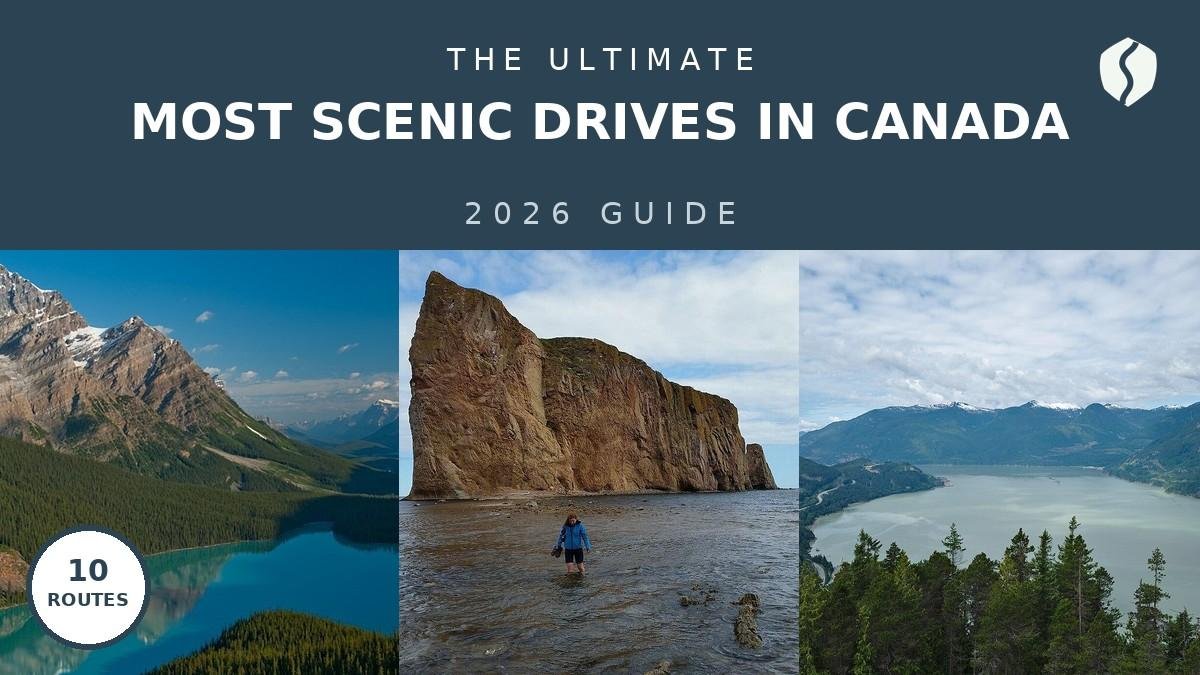
The stops that earn it: Peyto Lake, that impossible turquoise you assume is edited until you see it; Bow Lake at first light; the Columbia Icefield, where the glacier comes right up to the road; and Athabasca Falls, loud enough to hear before you see it. Gas up in Lake Louise. I have made this mistake so you don’t have to: the stretch past Saskatchewan Crossing has no fuel, and my gauge did something scary there once. Best season is June through September, when all the pullouts and facilities are open. In winter the road stays open but conditions get serious fast, and some stops close.
This is also the Banff-to-Jasper leg, so if you are already planning a Rockies trip, this drive is the trip. My Icefields Parkway itinerary breaks the same road into a slower, stop-by-stop day, and the Banff–Jasper road trip builds a full loop around it.
Wildlife on this road is not a photo opportunity you chase. A ranger at the Icefield Centre told me the rule I now repeat to everyone: stay in the rig, keep your distance, and never, ever stop in the middle of the road for a bear. The traffic jam you cause is the danger, not the bear.
2. Sea to Sky Highway, British Columbia — ocean on one side, wall on the other

Vancouver to Whistler. About 120 km. Driving time: roughly 1.5 to 2 hours, and you will stop at least three times. This is the shortest drive on the list and one of the most dramatic, because the geography changes every ten minutes: ocean, cliff, waterfall, forest, then Whistler suddenly in front of you.
Top stops: Shannon Falls, a short walk from the car park and genuinely tall; the Stawamus Chief, which climbers treat as a religion and the rest of us treat as a very good photo; and the Sea to Sky Gondola at Squamish, where the view from the top makes the ticket price feel reasonable. Best season is May through October, though skiers will rightly argue for winter, when the same road delivers you to Whistler’s snow.
If you want the slower version, my Sea to Sky Highway stops guide lists every worthwhile pullout in order, so you can tick them off without missing the one you actually wanted.
Drive it north in the morning. The light comes over Howe Sound and the pullouts on the ocean side are on your right, so you are not crossing traffic every time you stop. Small thing. Big difference over 120 km.
3. Cabot Trail, Nova Scotia — the loop that ruins other coastal drives

A loop around Cape Breton Island, about 298 km. Driving time: roughly 5 hours with no stops. Real time: a full day, two if you hike. The Cabot Trail is the drive people describe with their hands — up, down, around — because the road climbs out of fishing villages, drops to beaches, and then climbs again into Cape Breton Highlands National Park.
Top stops: the Skyline Trail at sunset, which is a boardwalk, not a climb, and still somehow the best view in Nova Scotia; Ingonish Beach, where the ocean is cold and nobody cares; and Baddeck, the sensible base, with the Alexander Graham Bell museum for a rainy hour. Best season is June through October; fall adds colour that makes the whole loop look staged.
Pair it with my Cabot Trail itinerary, which spaces the loop over two days so you are not driving the best part in the dark.
A server in Chéticamp told me the Acadian side of the loop, the west coast, is where locals actually eat. Skip one tourist-trap lunch, drive ten minutes further, and order whatever the place with the full car park is serving. She was right. She is always right about this.
4. Fundy Trail Parkway, New Brunswick — small road, enormous tides

St. Martins to the Fundy National Park area, about 30 km of parkway plus the connecting roads. Driving time: under an hour for the parkway itself, half a day once you start stopping. This is the shortest, quietest drive on the list, and it punches above its weight because of the Bay of Fundy: the highest tides in the world, which means the coastline you photograph at lunch looks completely different by dinner.
Top stops: the lookouts over the Bay of Fundy, each one signed and each one worth the pullout; the suspension footbridge over the Big Salmon River; and the sea caves at St. Martins, which you can only walk to at low tide. Best season is May through October, when the parkway is fully open.
5. Gaspé Peninsula, Route 132, Quebec — the long way around, on purpose

A loop of the Gaspé Peninsula on Route 132, roughly 800–900 km depending on where you start. Driving time: two to three days if you are being honest about stops. This is the road trip for people who like their scenery with a side of French, seafood, and lighthouses. The road hugs the St. Lawrence, then the Gulf, and the whole way the land feels like it is ending — because, at Percé, it basically is.
Top stops: Percé Rock, the giant limestone arch standing in the sea; Forillon National Park at the tip, where the road runs out and the cliffs take over; and the string of fishing villages — Sainte-Anne-des-Monts, Gaspé, Carleton-sur-Mer — each with a harbour worth a slow walk. Best season is June through September; the peninsula in October is gorgeous and half-closed, which is a trade you should know you are making.
Route 132 is a loop, but it is not a quick loop. The eastern half has long gaps between services, and cell coverage drops out in exactly the places you would want it. Download the map offline before you leave town. I found this out the expensive way, on roaming, in a dead zone.
6. Dempster Highway, Yukon & Northwest Territories — the serious one

Dawson City to Inuvik, about 740 km, almost all gravel. Driving time: two days, minimum, and that is with long days and good weather. This is not a scenic drive in the pullout-and-picnic sense. This is an expedition that happens to be a public road: two river crossings by ferry, the Arctic Circle sign, Tombstone Territorial Park’s jagged peaks, and then tundra that goes on until you stop believing in distance.
Top stops: Tombstone, about an hour and a half north of Dawson, which looks like a different planet; the Arctic Circle crossing, where everyone stops for the photo and nobody regrets it; and Inuvik itself, which after 740 km of gravel feels like a metropolis. I have not driven the full Dempster myself — I am honest about that — and everything I just wrote comes from Parks Canada and territorial road pages plus long conversations with drivers who have. I double-checked the ferry and road-condition details on the official Yukon road information before writing, because on this road, “roughly” is not good enough. Best season is June through September only. Outside that, you are dealing with a different road entirely.
Do not take a standard rental car on the Dempster without checking the rental terms first. Many rental agreements forbid gravel highways, and a flat tire 300 km from help is a very expensive lesson. Bring a full-size spare, extra fuel, and a paper map. No joke.
7. Pacific Rim Highway, Vancouver Island — rainforest to surf beach

Port Alberni to Tofino and Ucluelet, about 160 km on Highway 4 plus the Tofino–Ucluelet spur. Driving time: roughly 2.5 hours, and the last stretch is the twisty part. This drive changes character three times: inland forest, mountain pass with a lake that stops traffic (Kennedy Lake, and yes, everyone stops), then suddenly you are in surf town.
Top stops: Cathedral Grove, where the old-growth Douglas firs make your car look like a toy; Long Beach in Pacific Rim National Park Reserve, which is long in a way that recalibrates your sense of beach; and the Wild Pacific Trail in Ucluelet, a boardwalk along cliffs that is the best walk on the island. Best season is June through September for the driest odds, but storm-watching season, November through February, is a legitimate reason to go, with a warm jacket and a better raincoat than mine was.
8. Niagara Parkway, Ontario — the gentle one, and that is a compliment

Niagara-on-the-Lake to Fort Erie, about 56 km along the Niagara River. Driving time: roughly 1 hour, and you will take two, because the road keeps giving you reasons to stop. After the Dempster and the Gaspé, this one feels like a deep breath: flat, green, lined with wineries, and with the river on one side the whole way.
Top stops: the town of Niagara-on-the-Lake itself, which is worth an hour on foot before you even start the car; the whirlpool and the gorge viewpoints, which are free and better than some paid attractions I have queued for; and the Butterfly Conservatory, if you want one indoor stop that kids and adults both enjoy. Worth the detour: the wineries along the route, with a designated driver, obviously. Best season is May through October, with fall colour as the bonus round.
If Niagara is the start of a longer Ontario trip, my driving across Canada itinerary shows how this easy leg fits into the much bigger east-to-west picture.
9. Laurentian Mountains, Route 117, Quebec — the fall-colour leg

Montreal to Mont-Tremblant and beyond on Route 117, about 130 km to Tremblant. Driving time: roughly 1.5 hours, and in fall, double it for photo stops. The Laurentians are not the Rockies — nobody is pretending otherwise — but in late September and early October, when the maples turn, this is the prettiest easy drive in eastern Canada, full stop.
Top stops: Saint-Sauveur, a village that exists to sell you lunch and a walk; Mont-Tremblant village, which is a resort town and proud of it; and the lakes and lookouts along the way, which are signed and, for once, accurately described on the signs. Best season is late September to mid-October for colour, December through March for ski season, and summer for lakes.
Skip the main Tremblant car park circus on a fall weekend and drive ten minutes past the village to a lake access point instead. A shopkeeper in Saint-Sauveur sent me to one, and I had the shoreline, the colour, and the quiet to myself. The village will still be there on the way back.
10. Viking Trail, Gros Morne, Newfoundland — the far one, worth it

Deer Lake up Route 430 through Gros Morne National Park, roughly 300 km to St. Anthony if you do the full Viking Trail, with the Gros Morne section as the highlight. Driving time for the park section: a full day, with hiking. This is the drive for people who have already done the famous ones and want the one that still feels undiscovered: fjords cut into ancient rock, fishing outports, and moose. So many moose.
Top stops: Western Brook Pond, where a boat tour takes you between cliffs that are older than most mountain ranges on Earth — I double-checked that claim on the official Parks Canada site, because it sounds made up and it is not; the Tablelands, a rust-coloured slab of the Earth’s mantle sitting on the surface, which is as strange as it sounds; and Rocky Harbour, the sensible base with the best dinner options in the park. Best season is June through September.
Newfoundland is also the natural bookend to a cross-country drive: my Canada one-month road trip itinerary shows how a drive like this fits a coast-to-coast plan without rushing it.
Moose at dusk on Route 430 are not a joke, and they are not a photo stop either. A ranger at the park visitor centre told me the rule plainly: slow down at dusk and dawn, watch the ditches, and if you see one, give it the whole road. I listened. You should too.
All 10 drives, compared
| Drive | Approx. distance | Wheels-turning time | Best season | Road type |
|---|---|---|---|---|
| 1. Icefields Parkway, AB | ~232 km | ~3 hrs (plan a full day) | Jun–Sep | Paved highway |
| 2. Sea to Sky, BC | ~120 km | ~1.5–2 hrs | May–Oct | Paved highway |
| 3. Cabot Trail, NS | ~298 km loop | ~5 hrs (plan 1–2 days) | Jun–Oct | Paved loop |
| 4. Fundy Trail Parkway, NB | ~30 km parkway | Under 1 hr (plan half a day) | May–Oct | Paved parkway |
| 5. Gaspé Route 132, QC | ~800–900 km loop | 2–3 days with stops | Jun–Sep | Paved, remote stretches |
| 6. Dempster Highway, YT/NT | ~740 km | 2 days minimum | Jun–Sep only | Gravel, ferries |
| 7. Pacific Rim Hwy, BC | ~160 km | ~2.5 hrs | Jun–Sep (storm season Nov–Feb) | Paved, twisty |
| 8. Niagara Parkway, ON | ~56 km | ~1 hr | May–Oct | Paved riverside |
| 9. Laurentian Route 117, QC | ~130 km to Tremblant | ~1.5 hrs | Late Sep–mid-Oct for colour | Paved highway |
| 10. Viking Trail / Gros Morne, NL | ~300 km full trail | Full day in the park | Jun–Sep | Paved, plus ferry to NL |
What does a scenic drive cost?
Road-trip costs are mostly fuel, food, and a bed. The calculator below covers the per-person daily spend excluding car rental and accommodation — use the table under it for the full picture. All figures are approximate Canadian-dollar ranges.
Budget calculator
Per person, in Canadian dollars. Excludes car rental and accommodation.
Budget ≈ $95/day · Mid-range ≈ $155/day · Luxury ≈ $285/day. Approximate ranges; fuel and park passes vary by route and season.
| Expense (per person / day) | Budget | Mid-range | Luxury |
|---|---|---|---|
| Accommodation | ~$40 (hostel / campsite) | ~$160 (motel / hotel) | ~$300+ (lodge / resort) |
| Food & drink | $40 | $65 | $120 |
| Sights & park passes (daily share) | $15 | $25 | $45 |
| Getting around (fuel share) | $25 | $40 | $70 |
| Coffee, treats & souvenirs | $15 | $25 | $50 |
| Daily total (excl. car rental) | ~$135 | ~$315 | ~$585 |
Car rental is the wildcard: roughly $60–120/day for a standard car in summer, more for an SUV, and significantly more — if allowed at all — for gravel roads like the Dempster.
How to pick your drive
One day: Sea to Sky, Niagara Parkway, or Fundy. Long weekend: Cabot Trail or the Laurentians in fall. A week: the Icefields plus Jasper, or the Gaspé loop. A story nobody else will have: the Dempster.
FAQs about scenic drives in Canada
What is the most scenic drive in Canada?
If I have to pick one, it is the Icefields Parkway. Glaciers, turquoise lakes, and waterfalls, all from a paved highway with a pullout every few kilometres.
When is the best time for a Canadian road trip?
June through September for almost everything on this list: roads fully open, park facilities running, and daylight that lasts past dinner. Late September to mid-October is the pick for the Laurentians and the Cabot Trail, when fall colour peaks. Winter driving in the Rockies and the North is for experienced winter drivers only, with proper tires and a flexible plan.
Do I need a special car for these drives?
Nine of the ten: no. A standard car handles every paved drive here. The exception is the Dempster Highway, which is gravel for 740 km and needs a suitable vehicle, a full-size spare, and a rental agreement that actually allows gravel roads.
How much should I budget per day for a Canadian road trip?
As an approximate range, per person excluding car rental: about $95/day on a tight budget, $155/day mid-range, and $285/day if you are staying in lodges and eating well.
Is the Icefields Parkway the same as the Banff–Jasper drive?
Yes, same road. The Icefields Parkway (Highway 93) is the highway between Lake Louise and Jasper, through Banff and Jasper National Parks. If a guide says “Banff to Jasper,” it means this drive. That is why this list counts it once, not twice.
Can I do these drives in a single trip?
Not all ten, unless you have a month and a strong stomach for distance. The sensible version is the cross-country one: my Canada one-month road trip itinerary and driving across Canada itinerary both string the best legs together without pretending you can see a continent in a week. Pick one region, drive it properly, and save the rest for next year.
Keep exploring
One drive leads to another. Here is where I would go next:
- Icefields Parkway itinerary — the classic, stop by stop
- Sea to Sky Highway stops — every pullout, in order
- Cabot Trail itinerary — the loop over two days
- Fundy Trail Parkway guide — tides, lookouts, and gates
- Gaspé Peninsula road trip itinerary — the full loop, day by day
- Banff–Jasper road trip — the Rockies loop around the Icefields
- Driving across Canada itinerary — the coast-to-coast version
- Canada one-month road trip itinerary — the slow version, done right
Gas up. Buckle up. Stop more than you planned to. That is the whole method.