
- ✓ Vancouver to Halifax is about 6,400 km, not a long weekend: budget 6 full driving days at the absolute minimum, 10–14 days if you want to actually see anything between gas stations.
- ✓ The prairies are the leg people fear and the one they remember: 760 km of horizon is meditative at hour two and character-building at hour seven. Plan the stops.
- ✓ Gas up before the empty stretches: northern Ontario, the Coquihalla, and Quebec City to Halifax have legs where the next station is a rumor. I learned this the fuel-light way.
Here’s the deal: I ran the Trans-Canada from Vancouver to Halifax with a fuel gauge I trusted and a plan I didn’t. Somewhere past Golden, on Highway 1, the low-fuel light came on while the next station — according to a faded sign — was 58 kilometres behind me and the one ahead was a rumour. I made it. Barely. And that’s the whole trip in miniature: Canada is so big the math always surprises you, even when you’re the one doing it.
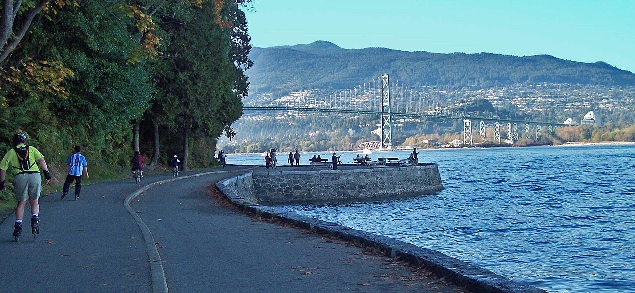
This is the full Vancouver-to-Halifax drive — about 6,400 km through six provinces, roughly 55–60 hours of wheel time if you drove it straight, which you shouldn’t. Six driving days is the floor; 10–14 days is where the trip actually becomes a trip. I’ve driven it end to end once and done most of the legs separately over the years. Every distance and drive time below was cross-checked against current routing in October 2026 — treat the times as the floor, because you will stop more than you plan to.
The route in one glance
Vancouver → Kamloops → Banff → Calgary → Regina → Winnipeg → Thunder Bay → Sault Ste. Marie → Toronto → Ottawa → Montreal → Quebec City → Halifax. Ten provinces’ worth of terrain in six: mountains, prairies, shield, lakes, cities, and the Maritimes. You’ll burn through about 500 litres of fuel in a regular car, and you’ll cross three time zones, which matters less for your watch than for your stomach at dinner.
One honest caveat: this itinerary follows the Trans-Canada with the sensible detours (Banff, Ottawa). It does not dip south of the border. Cutting through the US shaves kilometres off the Ontario and Quebec legs, but then you’re doing a two-country border-crossing circus with a rental agreement that may forbid it. Keep it Canadian.
10 stops that break up the drive
The full leg-by-leg is below. These are the pins that make the map worth tapping — hit any stop to jump the map to it.
Map data © OpenStreetMap contributors. Open the full map
Legs 1–3: Vancouver to Calgary (1,075 km)
Leg 1 — Vancouver → Kamloops: 355 km, ~3.5 hours. Highway 5, the Coquihalla, straight out of the gate. It’s fast, it’s toll-free since 2008, and the summit passes can flip from clear to chain-up weather faster than you’d believe — I checked DriveBC’s road-conditions page before leaving, and you should too, because “summer” is a rumour at 1,244 metres. → DriveBC — official road conditions
Leg 2 — Kamloops → Banff: 590 km, ~6.5 hours. The long leg, and worth every kilometre. Revelstoke, Golden, Rogers Pass — the road climbs into proper mountains and the pullouts start multiplying. This is where I ran the fuel light to “how did I do this” levels past Golden, so: gas up in Kamloops or Revelstoke, full tank, no heroics. I’ve made this mistake so you don’t have to.

Buy your Parks Canada Discovery Pass online before Banff if you’ll be in national parks more than about a week — I double-checked the current pass prices on the official Parks Canada site and the math breaks even fast once you’re doing Banff, Yoho, Glacier and Waterton in one trip. → Parks Canada — official site
Leg 3 — Banff → Calgary: 130 km, ~1.5 hours. Practically a victory lap. Stop at Canmore for coffee — cheaper than Banff, and the Three Sisters view from the main street is the postcard Banff charges a premium for.
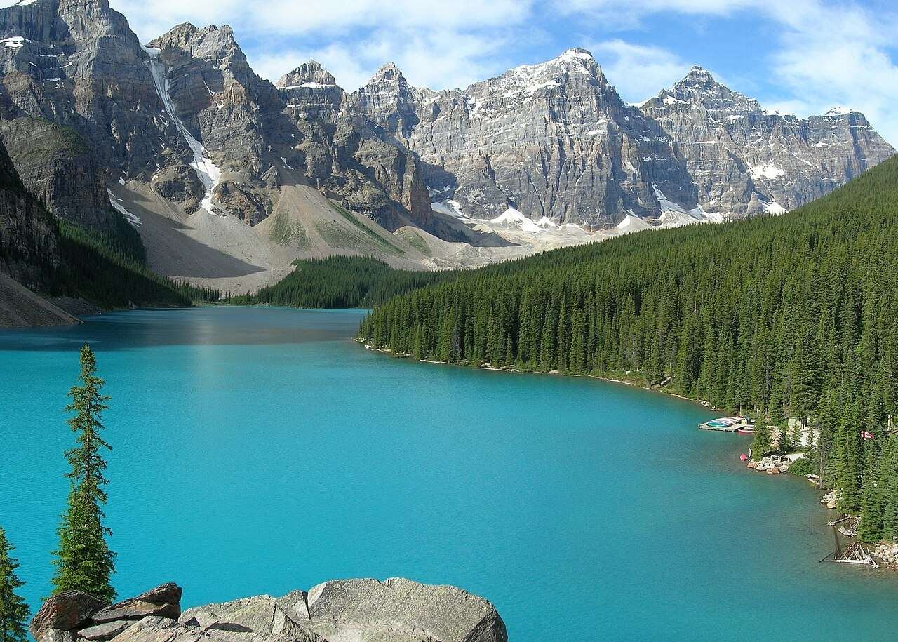
Moraine Lake deserves its own paragraph, because it stopped me mid-sentence. I’ve driven past plenty of blue lakes. This one is a different shade of blue, and the parking situation at sunrise is a competitive sport — take the shuttle, book it ahead. My full best time to visit Banff guide covers the shuttle booking windows, and the where to stay in Jasper guide sorts out the north-of-here leg if you’re detouring up the Icefields Parkway (worth the detour, no joke).
Legs 4–5: Calgary to Winnipeg, the prairie legs (1,330 km)
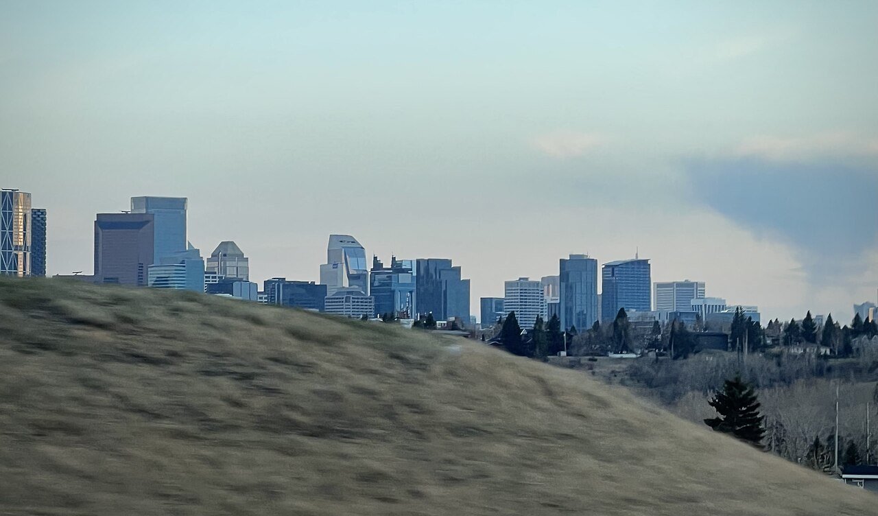
Leg 4 — Calgary → Regina: 760 km, ~7.5 hours. The first full day of horizon. Medicine Hat sits about halfway and has honest cheap fuel; Regina’s motels are built for exactly this trip, and a desk clerk in Regina told me cross-country drivers are “half the business in July.” Book the motel in advance anyway — summer weekends fill.
Leg 5 — Regina → Winnipeg: 570 km, ~5.5 hours. Brandon’s the halfway fuel stop. The sky does the entertaining out here — storm clouds stack up like architecture, and the grain elevators (fewer than there used to be, which makes the remaining ones worth a pullout) break the line of the horizon.

A waitress at a roadside diner east of Regina told me the prairie secret nobody writes down: drive the golden hour. Between 7 and 9 PM in summer the wheat fields turn into a light show and the traffic thins to nothing. Plan your Regina-to-Winnipeg day so the last two hours land in that window.
Legs 6–8: Winnipeg to Toronto, the shield and the big lake (2,090 km)
Leg 6 — Winnipeg → Thunder Bay: 700 km, ~7 hours. Gas up in Winnipeg — seriously, full tank — and stop in Kenora for breakfast. The road turns to lakes and rock and the speed limit starts feeling optimistic. After dark this leg belongs to the moose. I saw one standing on the shoulder outside Kenora at dusk, unbothered, the size of a compact car, and I have never driven so alertly before or since.
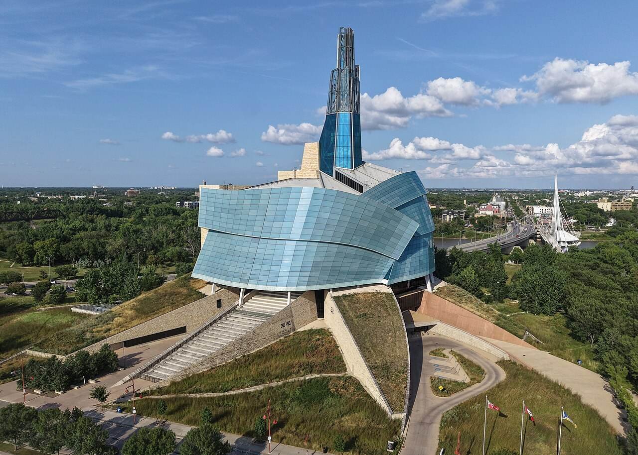
Give Winnipeg a proper half day before you leave it. The Canadian Museum for Human Rights is genuinely excellent, and Tourism Winnipeg’s official site has the current hours — I double-checked them before my stop because the museum’s hours shift with the seasons.
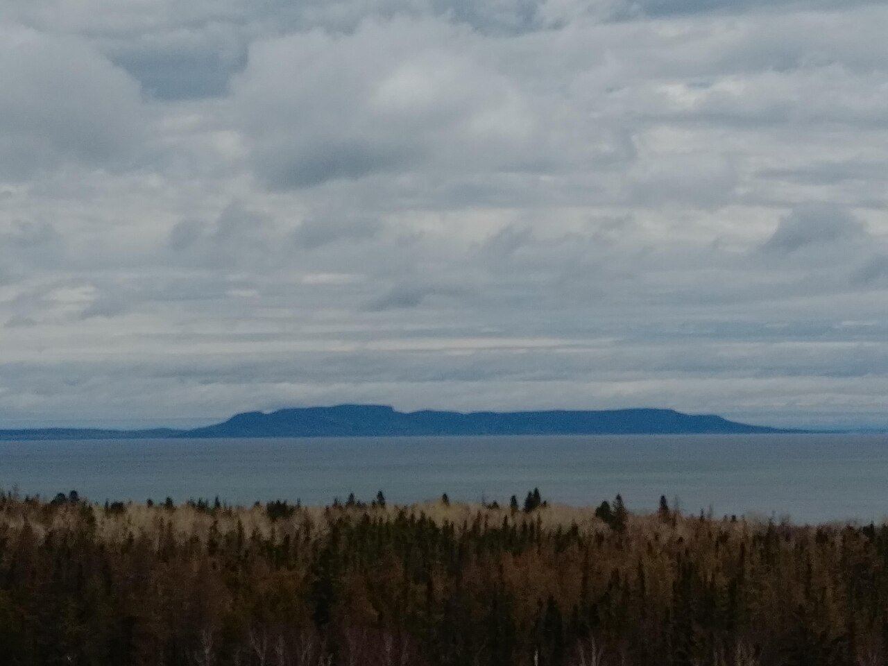
Leg 7 — Thunder Bay → Sault Ste. Marie: 700 km, ~7.5 hours. Save a day for this one. Highway 17 along the north shore of Lake Superior is the best driving day of the entire trip, full stop. Cliffs, cold blue water, pullouts every few kilometres that are actually worth using. At the Terry Fox Lookout outside Thunder Bay, looking out at the Sleeping Giant across the lake, I went quiet for a while. That doesn’t happen to me often.
Between Thunder Bay and the Soo, cell service dies for long stretches and gas stations are genuinely sparse — Wawa is the critical fuel stop on this leg, roughly the midpoint. Fill up every time you see a station, download your maps offline, and tell someone your route. I found this out the sweaty way when my phone showed “no service” for the better part of two hours.
Leg 8 — Sault Ste. Marie → Toronto: 690 km, ~7 hours. Sudbury’s the halfway mark (the Big Nickel is worth the ten-minute detour, fight me), then south on Highway 400. The closer you get to Toronto, the faster everything gets — traffic, prices, the pace of the whole province.
Legs 9–10: Toronto to Montreal, via Ottawa (650 km)
Leg 9 — Toronto → Ottawa: 450 km, ~4.5 hours. The 401 east is Canada’s busiest highway, and it shows — two lanes of trucks and the occasional construction zone that appears with no warning. Kingston is the natural halfway rest stop; the waterfront downtown is a better lunch break than any service centre. Give Toronto itself a rest day if you can — you’ve earned it, and my one-month road trip itinerary argues convincingly for slowing down here.

Leg 10 — Ottawa → Montreal: 200 km, ~2 hours. The easiest leg of the trip. Highway 417/40, two hours, done — unless you make the mistake of “just popping into” downtown Ottawa at rush hour. Parliament Hill at sunset is worth an overnight, though. Buckle up for exactly one short highway day.
Legs 11–12: Montreal to Halifax (1,305 km)
Leg 11 — Montreal → Quebec City: 255 km, ~2.75 hours. Highway 20 east along the St. Lawrence. Trois-Rivières makes a good coffee stop. Quebec City is worth a full day on its own — the old town inside the walls is the only walled city north of Mexico, and my Gaspé Peninsula road trip itinerary covers where to go if the Maritime pull draws you east from here.
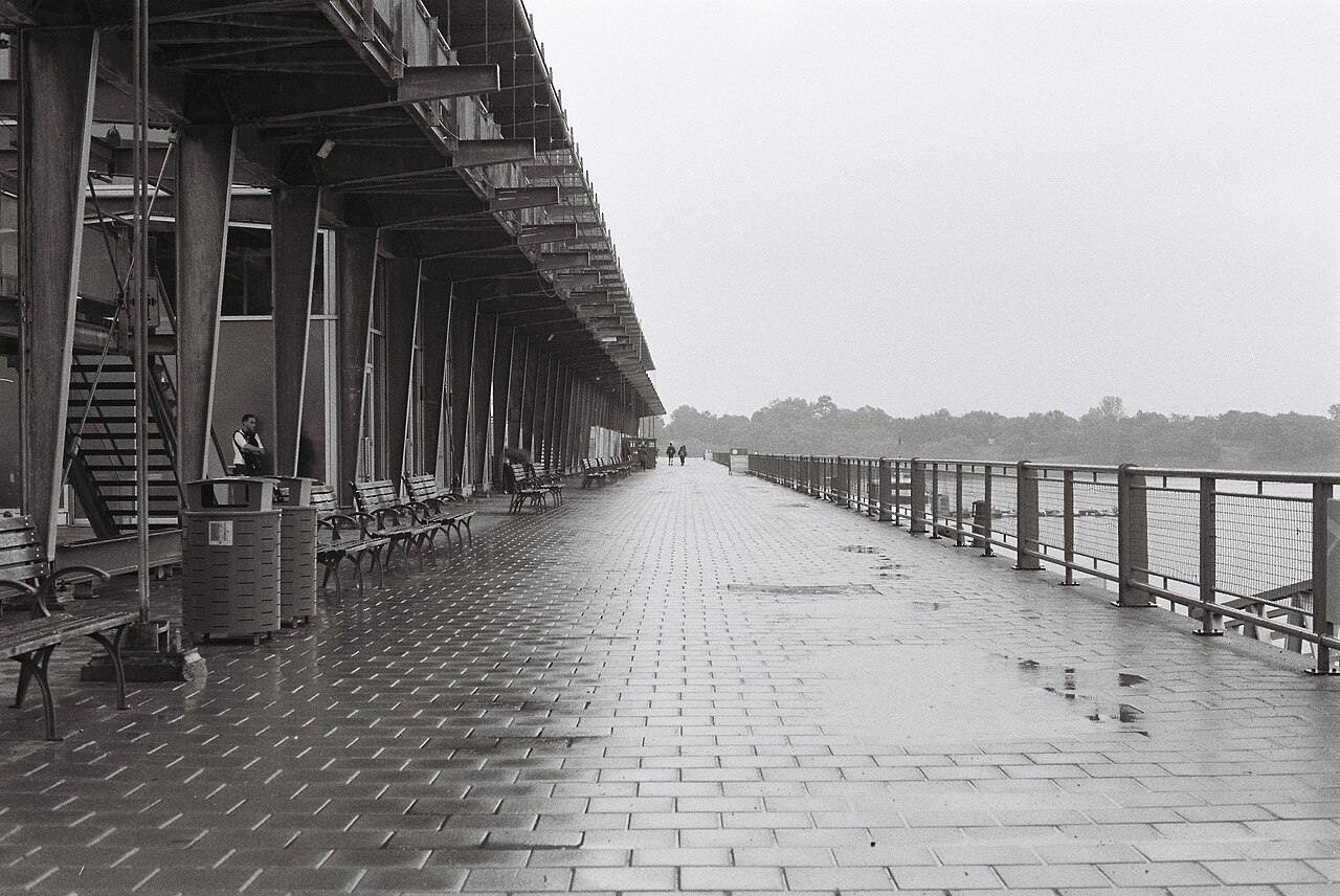
Leg 12 — Quebec City → Halifax: ~1,050 km, ~11 hours. Do not do this in one day. Split it in Edmundston or Fredericton — there’s a whole province of New Brunswick between you and the Atlantic, and driving it exhausted is how trips end badly. The Fundy coast is right there if you detour; my Fundy Trail Parkway guide covers the best of it.
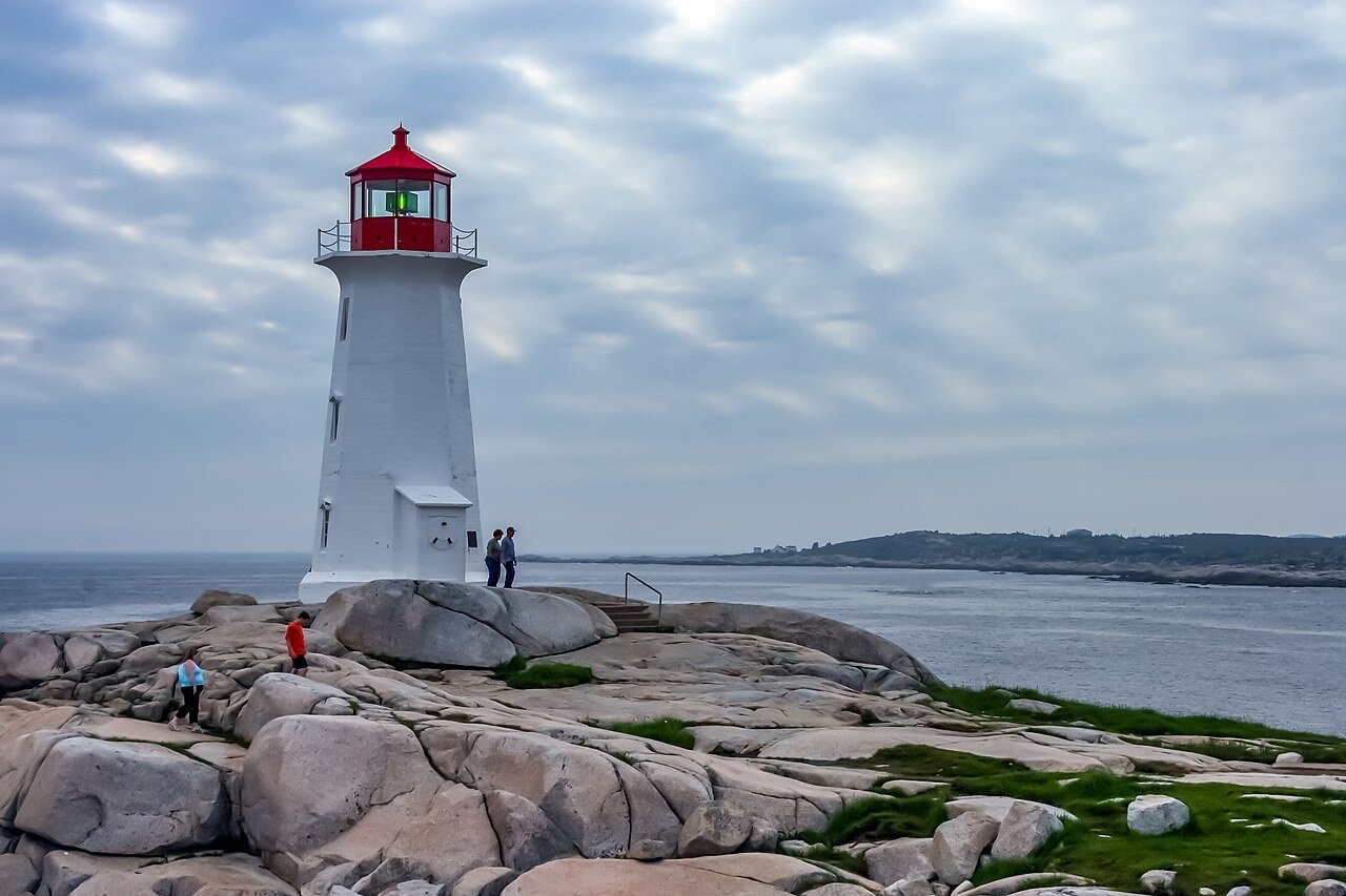
And then you reach Halifax, and there’s the ocean, and the trip is over, and it feels — honestly — a little abrupt. I parked by the waterfront, walked to the water, and stood there like an idiot for ten minutes. Six provinces. One fuel-light scare. Worth it.
Gas, food, and sleep: the realities
Fuel: budget roughly 500–550 litres for the whole drive in a regular sedan — call it $700–900 at 2026 prices, depending on the province. Rural BC, northern Ontario and the Maritimes run higher than Alberta. Fill up at half a tank in the empty stretches: the Coquihalla, Rogers Pass, Kenora to Thunder Bay, the north shore of Superior, and Quebec City to Halifax. This is not a drill. This is the entire point of this section.
Food: roadside diners are the backbone of this trip — cheap breakfasts, bottomless coffee, pie that doesn’t need a review. Chain fast food clusters at every major city exit; the good stuff lives on the small-town main streets a kilometre off the highway. Keep a cooler with water and snacks. You will thank me somewhere east of Wawa.
Sleep: the classic cross-Canada motel run. Book the night before you need it on summer weekends, especially in Banff, the Superior shore towns, and Halifax. Motels in the prairie towns are cheap, clean, and weirdly charming — and the ones with the neon signs still on are usually the ones worth stopping for. My Canada trip cost guide has the current motel-vs-hotel math.
When to go (and when not to)
June through September is the window. July and August have the warmest weather and the fullest motels; I’m partial to June and September — the crowds thin, the prices drop, and the driving is just as good. My best time to visit the Rockies guide covers the mountain timing in detail.
Winter changes everything. From roughly November to March, the Coquihalla and Rogers Pass can close outright in storms, northern Ontario is a white-knuckle two-lane slog, and daylight is short. It’s doable — truckers do it daily — but you need winter tires (mandatory in BC and Quebec), a survival kit, and the humility to wait out a storm in a motel. My Canada in December guide covers winter driving realities in full. If this is your first cross-Canada run, do it in summer.
The one-way rental playbook
Renting in Vancouver and dropping in Halifax triggers a one-way fee — typically $500–1,500 on top of the rental, and it varies wildly by company and season. Book the one-way itinerary explicitly (don’t book a round trip and hope), compare the fee across at least three companies, and check whether unlimited kilometres is actually unlimited — some contracts cap daily km and charge per kilometre after. My full renting a car in Canada guide covers insurance, licences, and the fine print.
Also: join CAA (or AAA, it reciprocates) before you leave. One tow in northern Ontario pays for the membership several times over, and the trip planners’ advice on the empty stretches is worth the call alone. I didn’t need the tow. I very nearly did.
What does the whole drive cost?
Costs below are per person, per day, excluding accommodation — the fuel line is the big one on this trip, and it scales with the rig you’re driving. Pick your style, set the number of days, and the calculator does the rest.
Budget calculator
Per person, in Canadian dollars. Excludes accommodation.
Budget ≈ $125/day · Mid-range ≈ $210/day · Luxury ≈ $345/day. Fuel and admission checked October 2026.
| Expense (per person / day) | Budget | Mid-range | Luxury |
|---|---|---|---|
| Accommodation | $55 (roadside motel) | $150 (city hotel) | $300+ (upscale lodge) |
| Food & drink | $45 | $70 | $120 |
| Sights (parks passes, museums) | $15 | $30 | $55 |
| Getting around (fuel + tolls) | $55 | $90 | $130 |
| Coffee, treats & souvenirs | $10 | $20 | $40 |
| Daily total | ~$180 | ~$360 | ~$645 |
FAQs about driving across Canada
How long does it take to drive across Canada?
Vancouver to Halifax is about 6,400 km and 55–60 hours of wheel time — roughly six full driving days at 700–800 km a day if you push. Realistically, plan 10–14 days so you can stop, sleep properly, and see the places the highway is supposedly for. Anyone promising it in five days is selling you a commute, not a road trip.
How much does it cost to drive across Canada?
A mid-range two-person run over 12 days lands around $210 per person per day excluding accommodation (see the calculator above) — fuel is the biggest line at roughly $700–900 total for the trip. Add motels at $55–150 a night, the one-way rental fee if you’re not driving your own rig ($500–1,500), and a Parks Canada pass for the Banff leg. My Canada trip cost guide breaks the whole budget down further.
What is the best route for driving across Canada?
The Trans-Canada Highway (Highway 1) is the route — it’s the only fully Canadian east-west corridor. The sensible variations: detour north to Banff and Jasper, take Highway 17 along Lake Superior’s north shore (non-negotiable in my book), and add Ottawa between Toronto and Montreal. Cutting through the US is shorter on paper but means border crossings with a rental that may forbid it.
Is it safe to drive across Canada?
Yes, with one real hazard: wildlife after dark, especially moose and deer on the northern Ontario and prairie legs. Don’t drive dusk-to-dawn through Kenora-to-Thunder-Bay country if you can avoid it. Otherwise it’s straightforward highway driving — the empty stretches just demand fuel discipline and an offline map. Join CAA before you go.
Can you drive across Canada in winter?
You can, but it’s a different trip. The Coquihalla and Rogers Pass can close in storms, northern Ontario is a two-lane winter slog, and you’ll need winter tires (legally required in BC and Quebec), a survival kit, and flexible timing. If it’s your first cross-Canada run, wait for June–September. See my Canada in December guide for the full winter picture.
What’s better: driving across Canada or taking the train?
Depends on what you want. Driving gives you the pullouts, the diners, the schedule-is-yours freedom — and it’s far cheaper. The train (VIA Rail’s Canadian, or the Rocky Mountaineer for the mountain leg) gives you scenery without the steering wheel and a sleeper berth instead of motel roulette. I compared them in detail here: Rocky Mountaineer vs VIA Rail. Personally? The drive. The fuel-light story alone was worth it.
Keep exploring
Six provinces down, a whole country left — here’s where I’d look next:
- Canada one-month road trip itinerary — the slower, deeper version of this drive
- Renting a car in Canada — insurance, licences, and one-way fee fine print
- Canada trip cost guide — the full budget breakdown beyond the wheels
- Best time to visit the Canadian Rockies — timing the mountain legs right
- Things to do in Calgary — the prairie gateway city
- Gaspé Peninsula road trip itinerary — the Maritime detour worth taking
- Fundy Trail Parkway guide — New Brunswick’s best coastal drive
- National parks in Canada — every park worth a pullout on this route
Buckle up. Gas up. The country’s bigger than you think, and that’s the point.